
Hello!
I am learning how to use a map and compass for navigation, and I have been using Be Expert with Map and Compass. So far everything is straight forward and makes sense in theory and in practice, but then I hit a wall on page 126, second and third paragraph. It is about drawing in magnetic north lines on a map using declination. I’m going to take a picture of the page because it is too much to type on my phone :)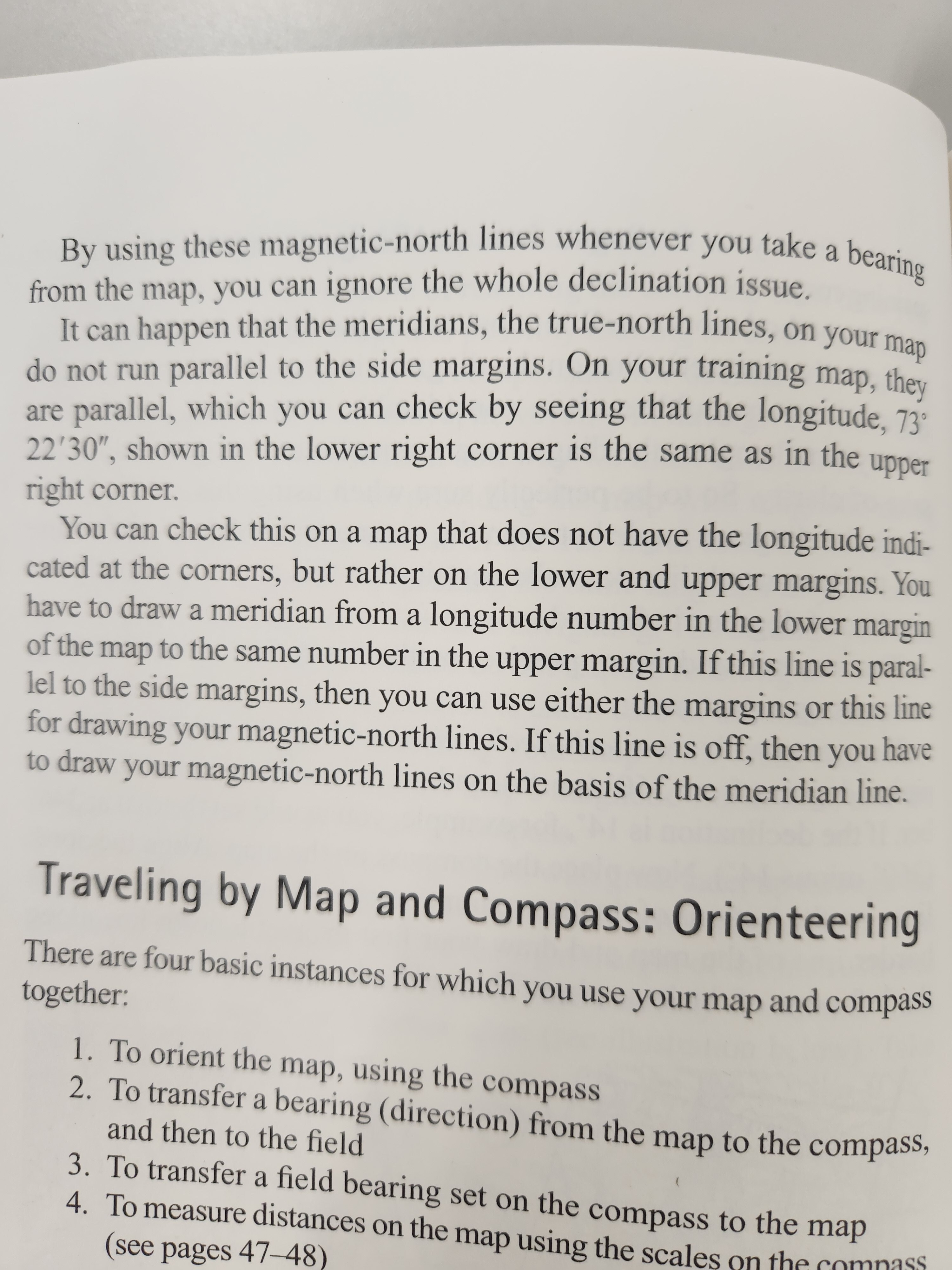
I can’t highlight or underline anything because it is a library book. Can someone explain this section to me if the map I am using has a longitude line of 44°52.5 N’ in the upper margin, and 44°45’ N in the lower margin?
Edit: I think I realized my mistake here. Those lines I mentioned would be my latitude lines, not longitude. My longitude lines read identical at the top and bottom of 86° 0’ W
But even so, if the longitude lines at the top and bottom didn’t line up, say 86° 0’ W and 86° 9’ W, how do I add magnetic north lines using a meridian, and which longitudinal lines are considered meridians?
In theory it’s straightforward - your meridian line would be ANY true north line. For their method to work, the map needs to indicate the longitude degrees, minutes and/or seconds across the bottom in increments. Then you basically line up the two numbers that match (ie draw a line from 86W on the top of the page to 86W on the bottom). Then that line becomes your meridian, and you create new “magnetic north” lines from there by adjusting for declination.
Thanks! This is exactly the answer I was hoping for. Do minutes and seconds have to align, or just minutes?